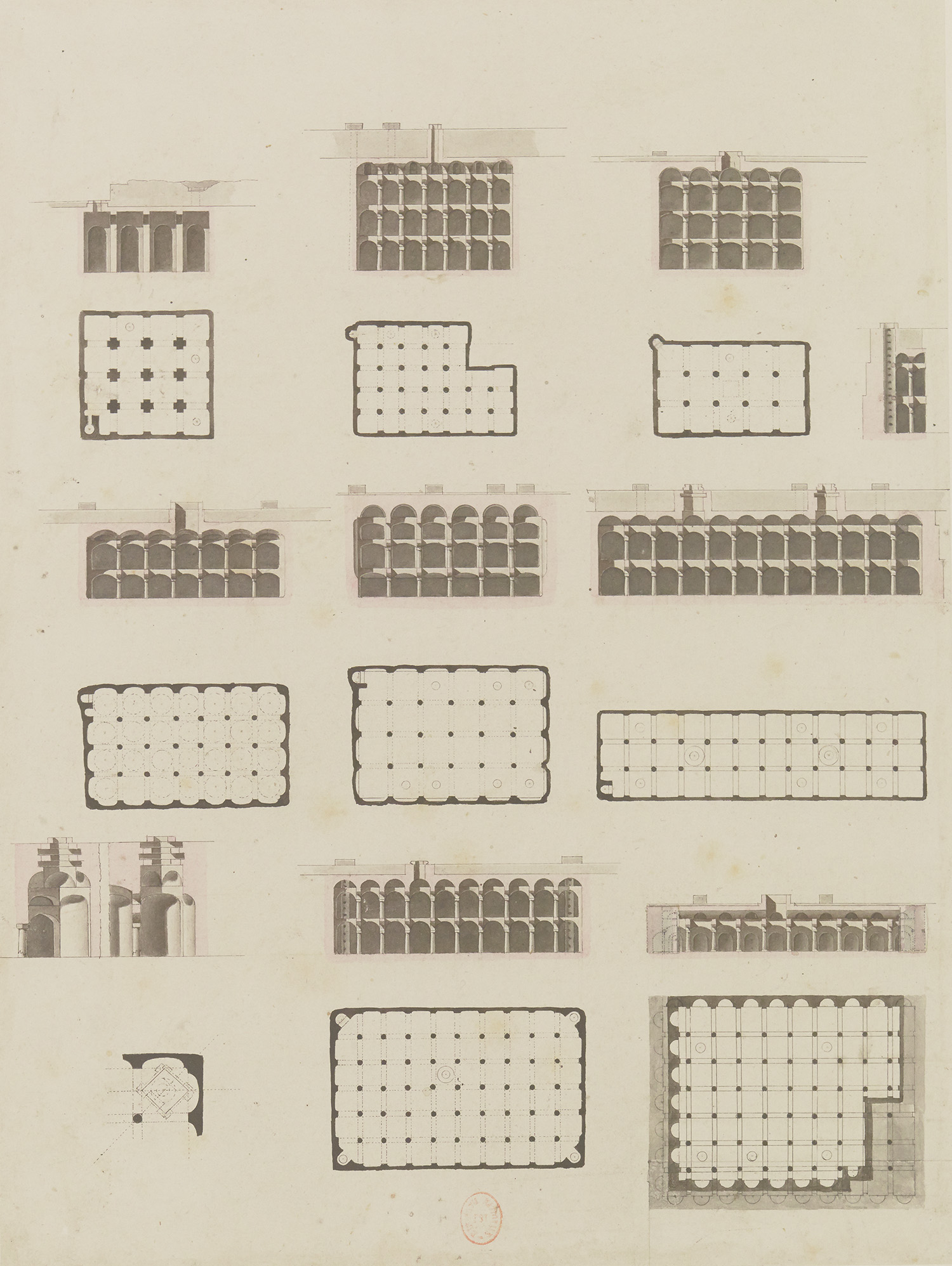
“Plans, sections and details of the eight principal cisterns of the ancient town” ink wash, watercolour, pen and pencil, Hervé-Charles-Antoine Faye, Description de l’Égypte, Antiquités, Planches, Vol. 5, pl. 37.4-23
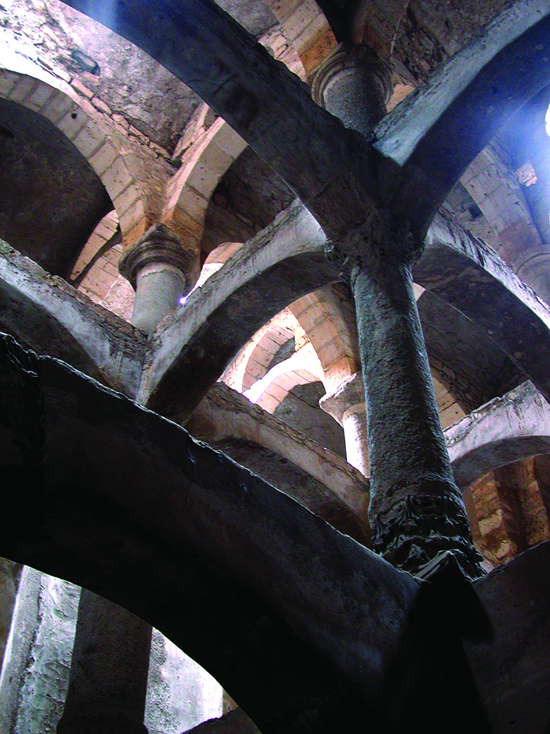
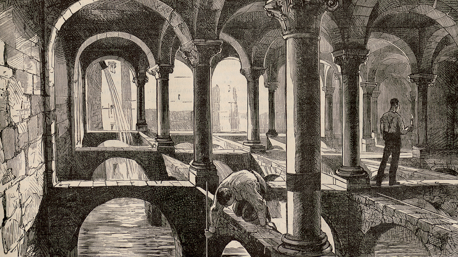
Most of the cisterns are located in the former medieval town, which was gradually abandoned between the 16th and 18th centuries. Large cisterns appeared in Alexandria in the Late Roman period and were supplied by a canal that connected to the Nile (1). After a process of decantation and purification, the water was poured into these numerous underground reservoirs. The French Expedition’s scientists count 308 of them in operation. The cisterns are effectively vast tanks for storing water, some of them three or four storeys high. An internal load-bearing structure made of columns and arches stabilised the building and a mortar made from crushed bricks coated the walls, ensuring that it was watertight (2). Several of these cisterns remain today, but they are no longer used to supply the population with drinking water. A modern water network was installed at the beginning of the 20th century.
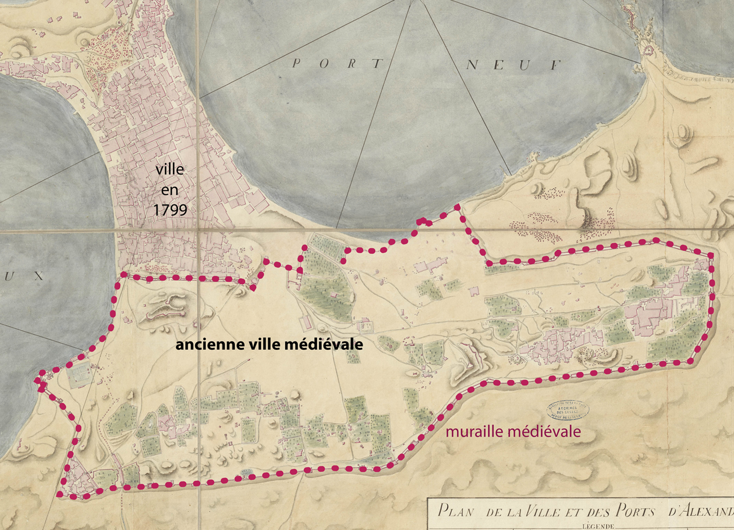
Detail from « Map of the city and harbours of Alexandria ». Watercolour, Louis-Jacques Bourgeois, circa 1799, 1/4,000
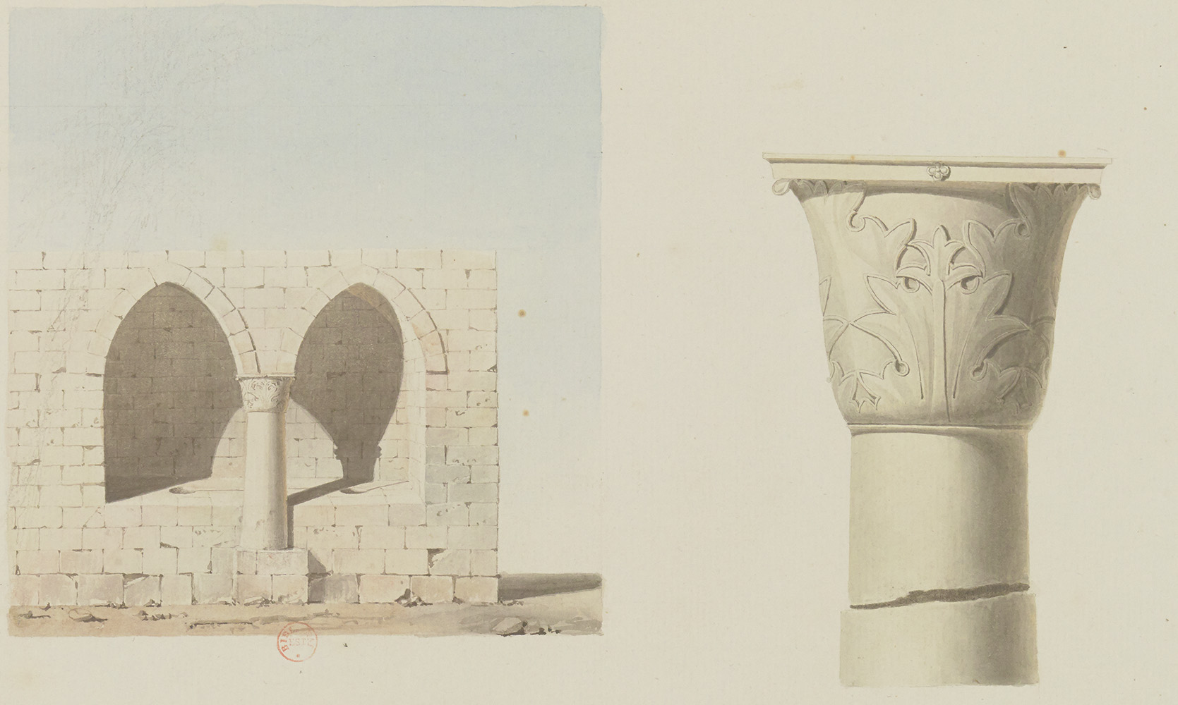
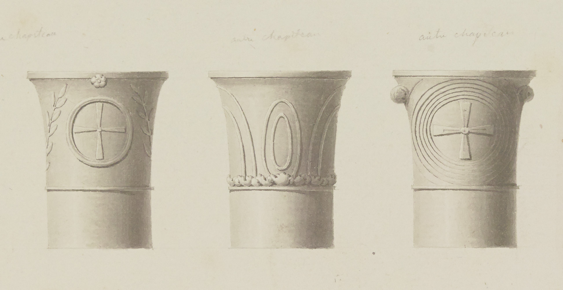
“View of a column and details of the capital”, ink wash, watercolour, pen and pencil, Edme-François Jomard, Description de l’Égypte, Antiquités, Planches, Vol. 5, pl. 36.9-10
Interior view of the El-Nabih cistern, 2003.
Photo Raymond Collet
“Water shortage at Alexandria: sounding the Roman cisterns”, L’Univers illustré, 26 August 1882, p. 533

