![]()
![]()
Topography and cartography department
The CEAlex topography and cartography department, which comprises three members, is responsible for carrying out topographic surveys of all CEAlex land and underwater excavations and for maintaining the GNSS station (GPS and GLONASS), the only such station available free of charge at all times in Egypt and the region. The data recorded every second, 24 hours a day, can be consulted on the dedicated website.
It also responds to internal and external requests for cartographic information or the creation of maps. Other tasks include managing, updating and promoting the inventory of the map library (around 2,000 documents). The team is actively involved in the creation of the archaeological map of Alexandria, the archaeological map of the Mareotid and in research work devoted to modern Alexandria.
The department has also published an overview document on the geodetic systems used in Egypt. .
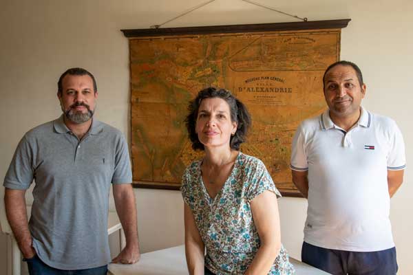
Cécile Shaalan, responsable
Ismaël Hassan El Banna Awad
Ragab Abdel Moula Abdel El Wardany