
![]()
![]()
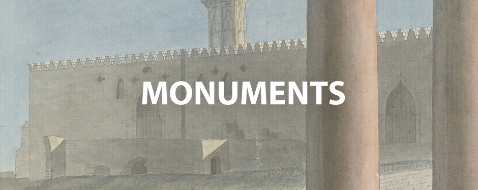
1798 : Alexandria as seen by Bonaparte’s scholars
During his conquest of Egypt in 1798, Napoleon Bonaparte was accompanied by some 160 scientists and artists from all disciplines. Throughout their occupation of the country, the architects, draughtsmen and engineers de la Commission des Sciences et des Artsproduced a wealth of plans, picturesque views, perspectives, cross sections, architectural details and representations of people, animals and objects (1). Once the Egyptian campaign was over, many of these “snapshots” were selected and reproduced in the form of engravings, making up over 900 plates illustrating the 23 volumes of the Description de l’Égypte (2), In 2006, the CEAlex pioneered the production of a complete digital version of the Description in the form of a DVD, allowing easy navigation between the volumes of text and plates (3).
Through the preparatory drawings for the Description de l’Égypte, held in the Bibliotheque National de France (BNF), we invite you to discover panoramas of Alexandria, the ancient monuments and the end of the 18th century, as the scholars observed and drew them, and to become better acquainted with the dozen or so men who stayed in Alexandria for a few days, weeks or months, and sometimes longer.


« View of the esplanade or great square of the new port, and the Arab walls ». André Dutertre, draughtsman: 1. watercolour and pencil, 2. ink wash and pencil, G. Paris Description de l’Égypte, État moderne, Planches, Vol. 2, pl. 97-98

View eastwards from Senghor University, September 2021. Photo Étienne Forestier, CEAlex
As soon as they arrived in Alexandria, the engineers of the Egyptian expedition conducted a topographical survey of the city under the direction of Jacques-Marie Le Père, assisted by his brother Gratien (4). They divided up the task: astronomers established a network of reference points, then engineering officers took charge of surveying the medieval city walls, the geographical engineers the interior of the ancient city, the whole of the modern city and the part south of the city walls, the civil engineers the coast, and naval officers sounded the harbours. After three intensive months of surveying, two geographers remained in Alexandria to map the surrounding area and measure the heights. As a result, more than a hundred plans were drawn up: general plans, detailed plans, plans of existing conditions and of future projects.


“Plan of the roadsteads, passes and harbours of Alexandria by the citizens Barré, Commander of the Alceste, and Vidale, Lieutenant of the Frigate. In the month of Messidor, Year 6. July 1798”. Watercolour, Jean-Baptiste Henri Barré, Lieutenant Vidale, July 1798, circa 1/19,500
“Geometric map of the city of Alexandria and its environs. With the layout of the works carried out by the French for its defence during Years 7, 8 and 9”. Watercolour, Engineers of the Army of the East, 1800, 1:5,000

View westwards from Senghor University, September 2021. Photo Étienne Forestier, CEAlex

“View of the New Harbour taken from the shore on the south-east side. Intaglio engraving, Nicolas Conté, draughtsman, Pierre-Gabriel Berthault, engraver, Description de l’Égypte, Etat moderne, Planches, Vol. 2, pl. 86
The exhibition was designed and produced by the Centre d’Études Alexandrines
in partnership with the Bibliothèque Nationale de France
Marwa Abdel Gawad, Service pédagogique
Michael Ayad, Traducteur
Mahitab Fathy, Graphiste-Maquettiste
Étienne Forestier, Photographe
Kathrin Machinek, Architecte-Archéologue
Marie-Delphine Martellière, Chargée de ressources documentaires
Marie-Dominique Nenna, Directrice du CEAlex
Cécile Shaalan, Topographe-Cartographe
Remerciements
Géraldine Chatelard
Stéphane Chouin
Julie Garel-Grislin
Isabelle Nyffenegger
Use of the drawings of the Commission d’Égypte (1798-1829) was generously granted by the Bibliothèque Nationale de France. Other visual elements were taken from documents held by the Service Historique de la Défense and the CEAlex.
This web version of the exhibition was prepared by Étienne Forestier and Mustafa Morsi.